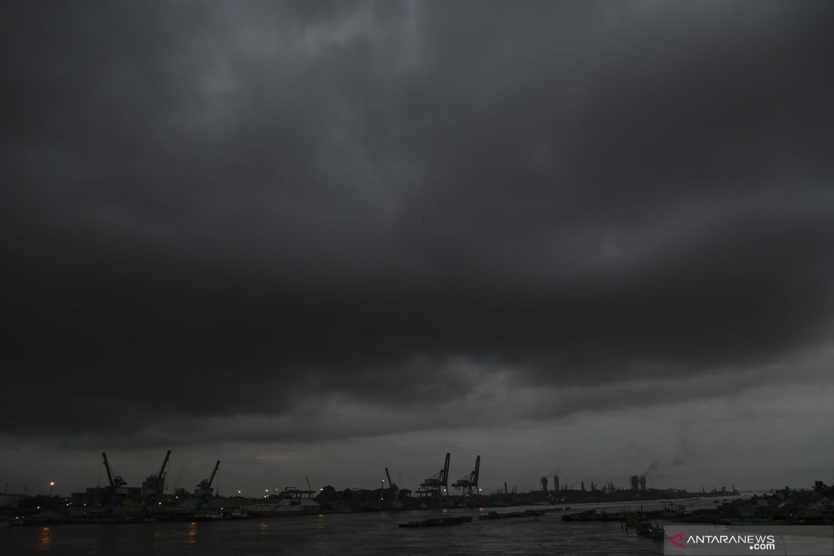
Karanganyar, C Java (ANTARA) - The Meteorology, Climatology and Geophysics Agency (BMKG) has projected extreme weather to protract until March in several areas in Indonesia.
"According to our forecast, Indonesia will experience extreme weather one after the other, not simultaneously. The rainy season will peak from February to March, especially in Yogyakarta and Central Java, which may potentially experience rainfall from January to February," BMKG Head Dwikora Karnawati stated here on Tuesday.
Karnawati further explained that the dry season will occur around the April to May period, as the transition period sets in, and during this season, whirlwind is a disaster that is most likely to occur.
"The disaster threat (in the dry season) surely will be different, not a landslide or a flood but a whirlwind. We call for all parties to be cautious," she stated.
Meanwhile, Head of the Semarang Climatology Station Tuban Wiyoso stated that the extreme weather will first be experienced in Central Java apart from some other areas since monsoon winds dominantly affected the weather in Java Island.
"Monsoon winds will impact the weather during the December-February period, the peak being from January to February. The monsoon winds itself blow from Asia to the territory of Indonesia," he explained.
In the meantime, speaking in connection with potential disasters during the transition season, he urged to exercise caution against several disasters apart from the whirlwind, such as tornadoes, thunderstorms, and sudden heavy rains.
"All areas will equally experience strong winds in Central Java. The whirlwind has also begun in the middle of the pause of rainfall that is a sign of a transition period," he noted.
Related news: BMKG confirms detection of 24 hotspots of wildfires in Aceh
Related news: BNPB cautions Jakartans against extreme weather
Related news: Minister highlights extreme weather events triggered by climate change


