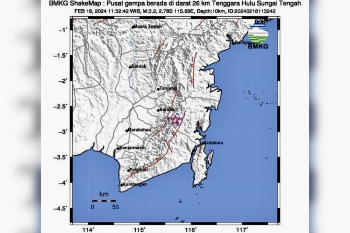
Banjarmasin, S Kalimatan (ANTARA) - A 3.2 magnitude earthquake, the epicenter of which was on land, shook Tapin Regency in South Kalimantan at 12.32 p.m, according to Meteorology, Climatology, and Geophysics Agency (BMKG).
Head of the Geophysics Station of the Balikpapan BMKG Rasmid informed that the center of quake was about 26 kilometers of southeast of Central Hulu Sungai (HST) Regency at a depth of about 10 kilometers.
“No potential of tsunami, I urge the people to remain calm and not to be influenced by issues or information that cannot be justified,” he noted in a written statement received here on Sunday.
Related news: 4.7M quake rattles South and Central Kalimantan
Based on the estimated shaking map, he said, the quake caused shaking in Hatungun Sub-district, Tapin District, at II-III MMI level (vibration clearly felt in the house, as if a truck was passing).
There was no reports of damages or casualties caused by the quake, so far.
Seeing the type and mechanism of the quake, then the location of epicenter and the depth of hypocenter, he said the quake that occurred was a shallow type caused by Meratus faults activity.
Rasmid asked the public to avoid buildings that are cracked or damaged due to the quake. Check and make sure that the building, especially house, is resistant enough to the quake.
Previously on Tuesday (February 13, 2024), a 4.7 magnitude earthquake rattled part of South and Central Kalimantan.
The epicenter of the quake which struck at 09.22 Wita (Central Indonesia Time Zone) was in the land about 19 kilometers northeast of Banjar District, South Kaliamntan, at a depth of 10 kilometers.
Related news: South Kalimantan earthquake, elementary students study outside
Related news: BNPB urges regional govts to create earthquake-resistant house program


