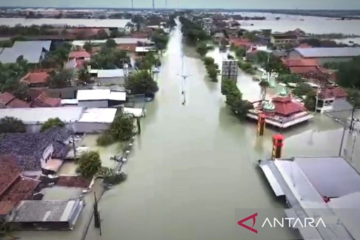
Jakarta (ANTARA) - An official at the National Disaster Mitigation Agency (BNPB) emphasized the need to procure advanced drones, which could improve mitigation efforts and operations to handle the impact of disasters.
The agency's Director of Disaster Risk Mapping and Evaluation, Udrekh, said on Saturday that the number of drones currently owned by the BNPB is still limited, causing difficulties in carrying out disaster mitigation and evacuation efforts.
The agency's existing fixed-wing drones also struggle to reach vast areas affected by large-scale disasters.
"The specifications of our current drones fall short in terms of sensor capabilities, range, and battery life," he explained.
He said there is a need for new drones with the latest technology that could help the BNPB map disaster-prone locations.
These maps would serve as a reference for actions aimed at reducing the impact of disasters, including hydrometeorological disasters like floods, landslides, and earthquakes, or extreme droughts that can trigger forest and land fires.
The use of drones is also important to help speed up the process of collecting data on public facilities damaged in a disaster, including searching for missing victims, which normally should not take more than three days, Udrekh said.
He said that the BPNB needs LiDAR (light detection and ranging) drones with longer battery life and laser sensors to measure distances to objects and surfaces and report detailed and accurate 3D representations.
"LiDAR technology allows for quick and precise disaster observations," he added.
He expressed hope that the need for LiDAR drones or other disaster emergency support equipment would be met soon to reduce the impact of disasters, which are currently increasing along with climate anomalies in Indonesia.
Related news: Embankment repair, weather modification to address Demak flood: Jokowi
Related news: Mataram's disaster emergency alert status extended until end of March
Translator: M. Riezko Bima E P, Resinta Sulistiyandari
Editor: Anton Santoso


