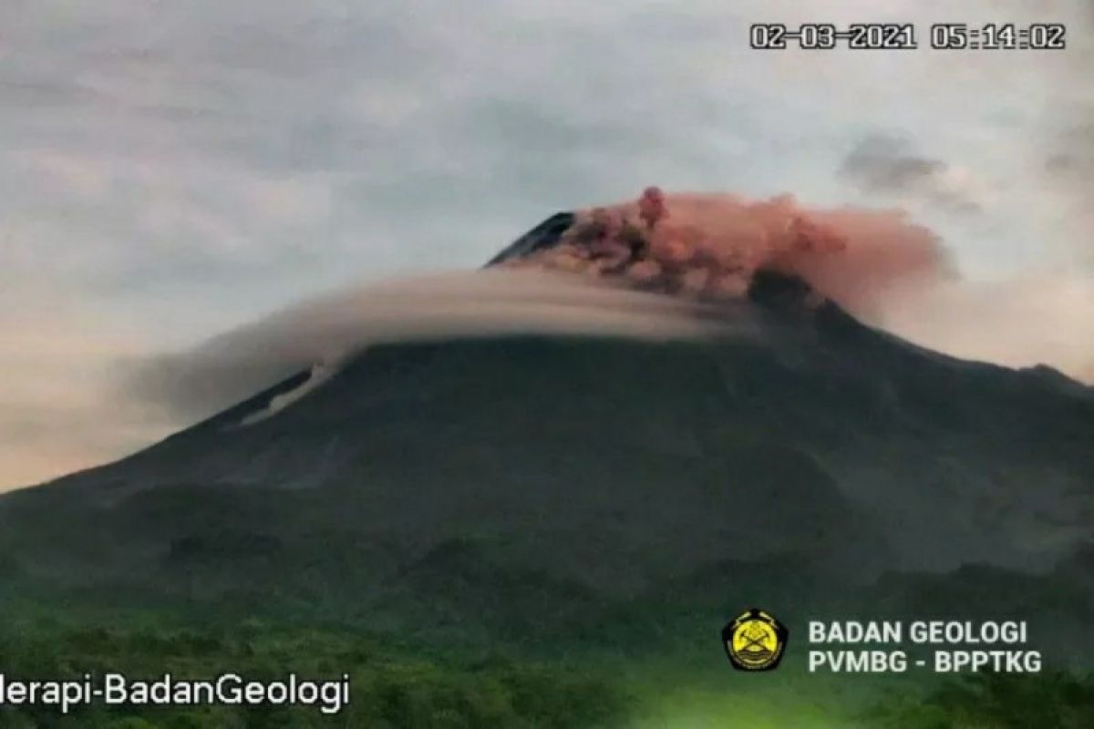
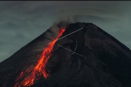
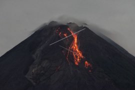
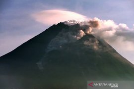
Yogyakarta (ANTARA) - Mount Merapi, located on the border separating the Yogyakarta Special Region and Central Java, erupted twice on Tuesday, with hot clouds dispersed as far as 1.9 kilometers (km) away in the southwest direction.
Head of the Geological Disaster Technology Research and Development Center (BPPTKG) Hanik Humaida noted in her press statement that Mount Merapi had erupted, with its first hot clouds rolling down from the peak at 5:11 a.m. local tiime.
"The eruption, with the emission hot clouds, was recorded to have an amplitude of 40 mm and lasted for 171 seconds. The hot clouds spread as far as 1.9 kilometers away to the southwest direction," Humaida remarked.
The volcano erupted again at 5:29 a.m. local time, with the hot clouds dispersing as far as 1.2 km away to the southwest, while the amplitude was recorded at 40 mm and lasted for 95 seconds.
Based on BPPTKG’s observations on Tuesday from 00.00 a.m. to 6 a.m. local time, Mount Merapi has erupted 17 times, with the lava spreading as far as 1.3 km away to the southwest.
Two earthquakes were also detected within the active volcano, belching speeding hot clouds, recorded to have an amplitude of 40-60 mm and lasting 96-171 seconds, and for another 57 times, earthquakes were recorded to have an amplitude of 3-35 mm and duration of 12-103 seconds. For four times, earthquakes were also recorded to have an amplitude of 3-7 mm and last for 8-16 seconds.
The BPPTKG declared the alert status for Mount Merapi at Level III.
The lava and searing clouds of Mount Merapi are projected to impact areas in the south to the southwest that comprise Sungai Kuning, Boyong, Bedog, Krasak, Bebeng, and Putih.
In the meantime, Mount Merapi's volcanic material could go as far as three kilometers from the mountain's peak.
Related news: Mount Merapi belches out hot clouds, lava on Tuesday morning
Related news: Mount Merapi belches lava up to 1.5 kilometers on Tuesday
EDITED BY INE


