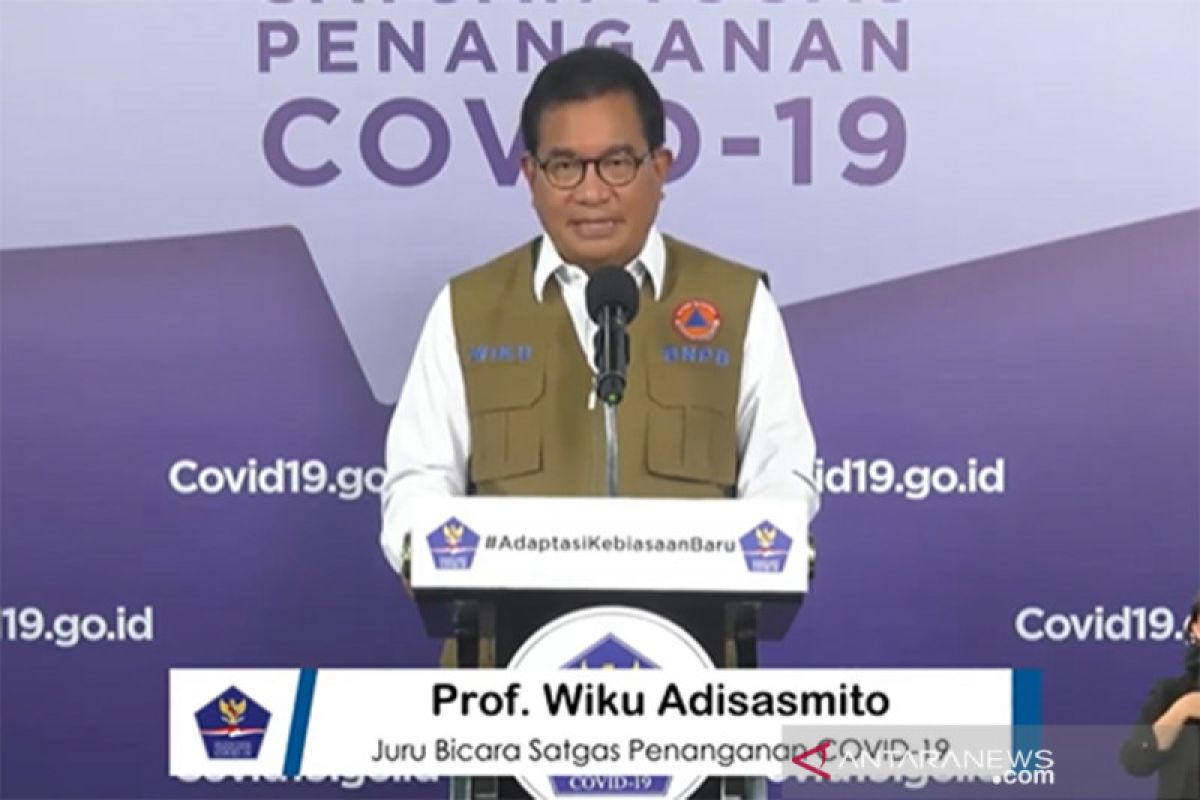
Jakarta (ANTARA) - The COVID-19 Handling Task Force conducts countrywide risk mapping of the disease that has served as an official reference for the government to design COVID-19 response policies, according to its spokesman, Wiku Adisasmito.
Risk mapping is conducted by using 15 indicators pertaining to epidemiology, surveillance, and public health services.
Adisasmito made the statement during a virtual press conference from the Presidential Palace in Jakarta on Thursday in response to the polemic over Surabaya's claim to have improved its status to a COVID-19 green zone.
The spokesman urged people to check the status of their respective regions on the government's official site of www.covid-19.go.id.
Referring to the risk mapping published on the website, as of Thursday, Surabaya in East Java is still categorized as a red zone.
Related news: Government boosts openness on COVID-19 data : spokesman
"National risk mapping officially is only conducted by the COVID-19 Task Force. Under the BLC (United Against COVID-19), here we can see the integrated data of each district and municipality," he stated.
Adisasmito noted that the central and regional governments refer to the task force's risk mapping to design policies on COVID-19 handling.
"This has become a reference, with 15 indicators including epidemiology, public health surveillance, and health services," the spokesman stated.
Surabaya earlier claimed to have improved its status as a green zone that marks the low risk of COVID-19 transmission.
"The condition in Surabaya has improved. I can show the data from the Health Ministry indicating that Surabaya is a green zone, which means it has a low disease transmission rate. There are more number of recoveries," Surabaya Mayor Tri Rismaharini stated on Monday (Aug 3).
Related news: Level of compliance with health protocols below 50%: task force
Related news: COVID-19 handling must not spark more problems: Task Force


