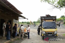
Barabai, S Kalimantan (ANTARA) - Initial exposure to galian C studies by ULM researchers at the HST Development Planning and Research Agency (Bappelitda). (Antaranews Kalsel/M Taupik Rahman Antaranews)
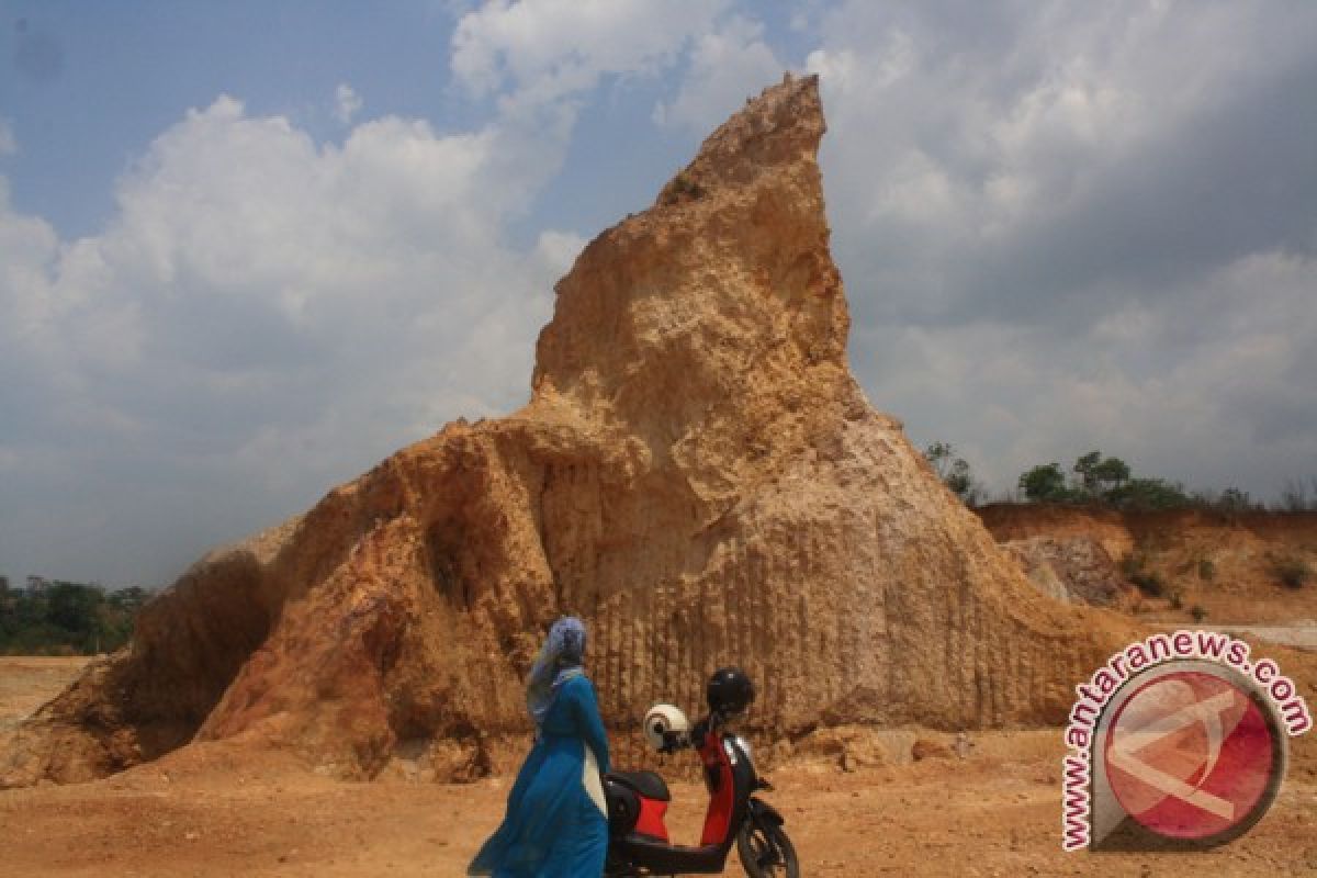
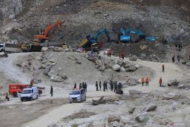
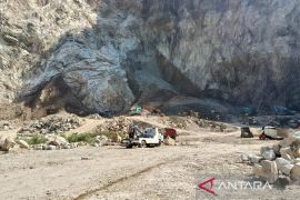
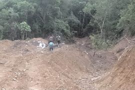
The Central Hulu Sungai (HST) Regency Government is now in cooperation with the Lambung Mangkurat University research center LPPM ULM mapping the sand and gravel quarries (popularly known as galian C) to cope with its problems.
"The problem of galian C quarrying is indeed the authority of the provincial and central governments. The data held by the HST Regency Government is also not accurate," said Head of the HST Board of Economic Ehwan Usaffa during the expose of the initial galian C study by the LPPM ULM here, Tuesday (2/7).
The research center will do the mapping to know its map of the location, as well as it positive and negative impacts on the environment.
Expert Staff for Economic Affairs and Development Ir. Zainuddin, who represented the regent, added that in the past few years, almost all sub-districts in HST had many galian C miners who were not orderly.
"Therefore, the district government is again trying to curb illegal galian C quarrying," he said.
According to him, with the research, the HST government will be able to take policy directions and make regulations related to mining.
"The district government is actually find it difficult in taking policy, because all the permits related to galian C are in the provincial government, so we are only able to maximize supervision," said the former Head of the Agriculture Agency.
Researcher from ULM Ahmad Yunani said, the research aims to describe and analyze the management of galian C and the factors that influence. In this case, the aspects studied are the regulation, licensing and supervision of mining business in HST.


