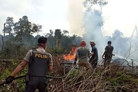
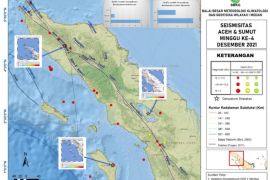
Medan, N Sumatra (ANTARA) - The Terra and Aqua satellites as well as the NOAA20 satellites unearthed 23 medium-category hotspots in North Sumatra on Saturday.
The North Sumatra meteorological, climatology, and geophysics office (BMKG) noted in a statement here on Saturday that of all the detected hotspots indicative of forest fires, one each was found in Humbang Hasundutan District and North Labuhanbatu, while two were spotted in Karo.
One hotspot each was detected in Samosir, Langkat District, and Mandailing Natal; two each in Toba Samosir and Padang Lawas; four in North Padanglawas; and five in North Tapanuli.
Related news: Indonesia successful in minimizing forest fires, claims minister
Related news: Apply technology to prevent land, forest fire: President
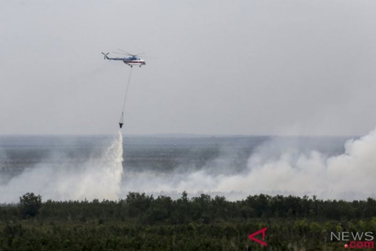
In the meantime, aerial firefighting helicopters dropped over 4.6 million liters of water to help douse forest and land fires at 51 spots in South Sumatra Province over the past month.
Five helicopters were deployed to extinguish wildfires since June 25, 2020, when a blaze began ravaging through Tanjung Batu Village, Ogan Ilir District, Ansori, an official of the Disaster Mitigation Office (BPBD) of South Sumatra, stated in Palembang, on Thursday.
"Five helicopters are already operating to extinguish (forest fires) in eight districts," he stated. The wildfires were found at 26 spots in Muara Enim District, eight in Ogan Ilir, seven in Pali, three each in Musi Banyuasin and Musi Rawas, two each in Banyuasin and OKI, and one in East OKU.
"Water bombings were conducted 1,046 times during 33 flights," he revealed.
The authorities are on high alert for wildfires, as the current dry season is expected to peak in August.
Related news: Indonesia takes precautionary measures against forest fires forecast
Related news: Exposure to forest, land fire smoke worsens COVID-19 risk: Monardo


