In fact, the United Nations Educational, Scientific and Cultural Organization (UNESCO) had recognized Meratus Geopark as geological heritage, member of UNESCO Global Geopark (UGGp).
Baca juga: Batuan purba Geopark Pegunungan Meratus
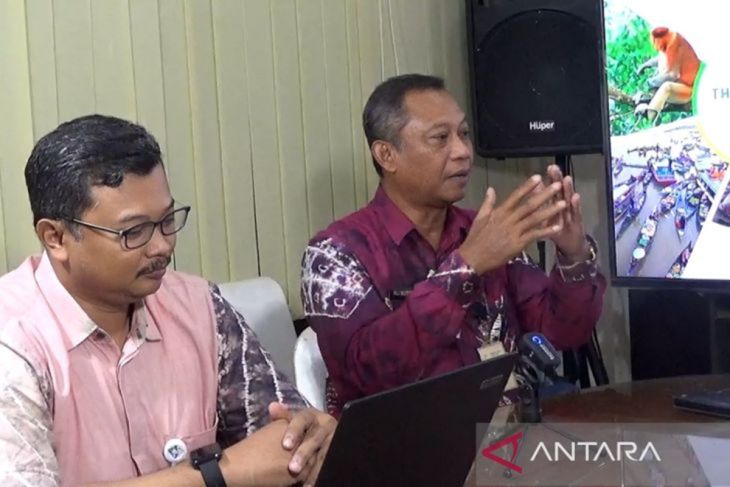
The charter of recognition as the UGGp was officially received by the Governor of South Kalimantan H Muhidin accompanie by Indonesian Ambassador to France Mohamad Oemar in Paris, France, Monday (June 2, 2025).
Meratus Geopark, which covers an area of 3,645.01 km2 comprises 54 sites spread across four routes: West, North, East, and South, had been designated as National Geopark in 2018.
These routes explain the origin of the formation of Meratus Mountains, marking various sites that remain visible to the naked eye.
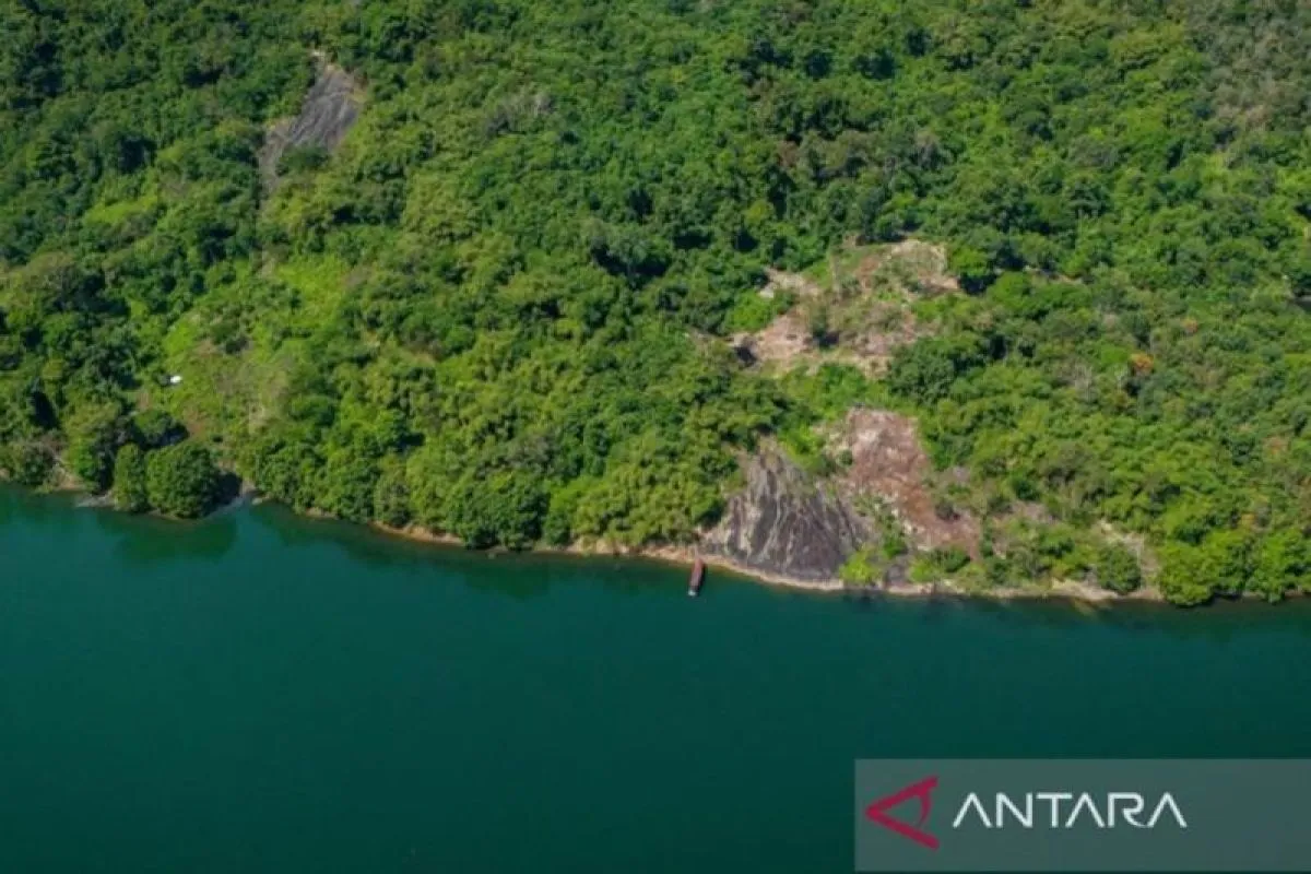
One such landmark is the rock cliff in Tiwingan Baru Village, Aranio Sub-district, Banjar District, located in Riam Kanan Dam.
The rock cliff on the northern route of Meratus Geopark is named the Underwater Ancient Volcano. It is the 31st site of the geopark that is carefully protected and preserved as a valuable natural heritage.
Don't imagine the site as towering volcano in Java. It's simply a hill with a vast expanse of rock on its sides. The term "volcano" refers the geological history of the rock formation.
Ali Mustofa, a geologist with the Meratus Geopark Management Agency (BPGM), said the rock's appearance cannot be separated from the formation of Meratus Mountains.
The Meratus Mountains were formed due to the impact of an ophiolite, a type of crustal impact beneath the ocean, which rose to the surface 200-150 million years ago.
This impact of the earth's crust produced volcanic eruptions or hot magma, which eventually solidified into rock, a process that took a very long time to surface.
The appearance of rocks in Tiwingan Baru Village, also known as Bukit Batas, as a result of this impact has been studied by geologists and scientifically proven to be ancient.
Baca juga: Governor receives UNESCO Global Geopark charter for Meratus